The Precise Topography by UAS - photogrammetry master class
pino mangione
8:24:34
Description
Practical examples and all pinomangione experience to achieve immediately a precise topography using UAS
What You'll Learn?
- All the experiences and the practical hints to achieve a fast and precise topography with UAS
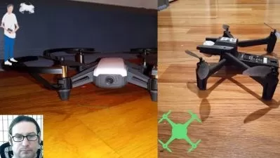
- The all around process, starting from choosing the correct UAS, through the flight planning, how to fix the GCP (Ground Control Points), to the final technical
- We will share and deepen a complete real example with the construction of all the typical technical elaborates to supply to our client
- You wiil be able to use the most effective software for topography from UAS aerophotogrammetry
Who is this for?
What You Need to Know?
More details
DescriptionYou have no idea how much time you will save just by applying some of the hints heritable from pinomangione experience.
It’s time to stop testing, trying, make experiments…Here there’s someone that has already done all these things in spite of you.
I will show and demonstrate all the practical actions that will take you to achieve to the best results in a short time
You’ll fine all the experiences and the practical hints to achieve a fast and precise topography with UAS
The all around process, starting from choosing the correct UAS, through the flight planning, how to fix the GCP (Ground Control Points), to the final technical elaborates.
We will also share and deepen a complete real example with the construction of all the typical technical elaborates to supply to our client
You wiil be able to use the most effective software for topography from UAS aerophotogrammetry, because in the end I’ll make you a present: a complete software that allows you to put into practice what you learnt.
You will be also able to train with exercises and documents that you will download for free from the course platform.
An effective masterclass, complete and exhaustive.
Do not hesitate, let’s start immediately this adventure: i twill be easy, practical and fast
Good learning from pinomangione and ... see you soon in flight.
Who this course is for:
- Topography and Photogrammetry companies
- Topographer
- Surveyor
- Engineer
- Architect
- Geologist
You have no idea how much time you will save just by applying some of the hints heritable from pinomangione experience.
It’s time to stop testing, trying, make experiments…Here there’s someone that has already done all these things in spite of you.
I will show and demonstrate all the practical actions that will take you to achieve to the best results in a short time
You’ll fine all the experiences and the practical hints to achieve a fast and precise topography with UAS
The all around process, starting from choosing the correct UAS, through the flight planning, how to fix the GCP (Ground Control Points), to the final technical elaborates.
We will also share and deepen a complete real example with the construction of all the typical technical elaborates to supply to our client
You wiil be able to use the most effective software for topography from UAS aerophotogrammetry, because in the end I’ll make you a present: a complete software that allows you to put into practice what you learnt.
You will be also able to train with exercises and documents that you will download for free from the course platform.
An effective masterclass, complete and exhaustive.
Do not hesitate, let’s start immediately this adventure: i twill be easy, practical and fast
Good learning from pinomangione and ... see you soon in flight.
Who this course is for:
- Topography and Photogrammetry companies
- Topographer
- Surveyor
- Engineer
- Architect
- Geologist
User Reviews
Rating

pino mangione
Instructor's Courses
Udemy
View courses Udemy- language english
- Training sessions 49
- duration 8:24:34
- Release Date 2023/10/14