Start with Google Earth Engine & Spatial Analysis #Beginners
Kate Alison,Georg Müller
1:50:00
Description
Get introduced to Remote Sensing and big geodata and spatial analysis in Google Earth Engine, learn basics of JavaScript
What You'll Learn?
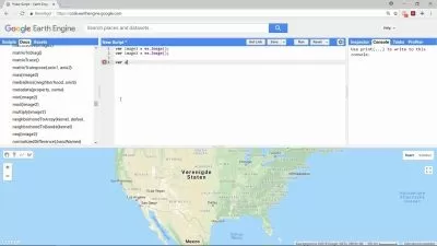
- Students will gain access to and a thorough knowledge of the Google Earth Engine platform
- Get introduced to JavaScript skills on Google Earth Engine platform
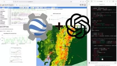
- Learn how to calculate spectral indices and work with Big data on cloud
- Learn image classification (land cover mapping) basics in Earth Engine Explorer
- Get introduction to Remote Sensing and satellite images
- Understand how to work with satellite images on the desktop computer and on the cloud
Who is this for?
More details
DescriptionStart with Google Earth Engine & Spatial Analysis #Beginners
This course is designed to take users who use GIS for basic geospatial data/GIS/Remote Sensing analysis to perform geospatial analysis tasks with Big Data on the cloud! This course provides you with all the necessary knowledge to start with Remote Sensing and Geospatial analysis in Google Earth Engine.
We will start with a thorough introduction to the Earth Engine Platform, then move to the basics of satellite image and image analysis (which is essential to understand when you would like to work with Earth Engine) and then move to a comprehensive overview of JavaScript basics for spatial analysis. We will cover essential blocks to equip you with the background knowledge and get you started with your analysis on the cloud.
Please, note: this is an introductory course with the main focus on Google Earth Engine. I do explain some basics of Remote Sensing, but it is not the main topic of this course.
By the end of the course, you will feel confident and understand the basics of JavaScript for spatial analysis with Big Data on Google Earth Engine cloud. This course will also prepare you for using geospatial analysis with open source and free software tools.
Who this course is for:
- Geographers, Programmers, geologists, biologists, social scientists, or every other expert who deals with GIS maps in their field
Start with Google Earth Engine & Spatial Analysis #Beginners
This course is designed to take users who use GIS for basic geospatial data/GIS/Remote Sensing analysis to perform geospatial analysis tasks with Big Data on the cloud! This course provides you with all the necessary knowledge to start with Remote Sensing and Geospatial analysis in Google Earth Engine.
We will start with a thorough introduction to the Earth Engine Platform, then move to the basics of satellite image and image analysis (which is essential to understand when you would like to work with Earth Engine) and then move to a comprehensive overview of JavaScript basics for spatial analysis. We will cover essential blocks to equip you with the background knowledge and get you started with your analysis on the cloud.
Please, note: this is an introductory course with the main focus on Google Earth Engine. I do explain some basics of Remote Sensing, but it is not the main topic of this course.
By the end of the course, you will feel confident and understand the basics of JavaScript for spatial analysis with Big Data on Google Earth Engine cloud. This course will also prepare you for using geospatial analysis with open source and free software tools.
Who this course is for:
- Geographers, Programmers, geologists, biologists, social scientists, or every other expert who deals with GIS maps in their field
User Reviews
Rating

Kate Alison
Instructor's CoursesGeorg Müller
Instructor's Courses
Udemy
View courses Udemy- language english
- Training sessions 13
- duration 1:50:00
- Release Date 2023/04/26