Learn Mapinfo Pro from Zero
Caner Bozkurt
3:22:28
Description
Learn GIS with Mapinfo Pro/Step by step
What You'll Learn?
- Mapinfo pro Commands
- Interface of Mapinfo pro
- How to add datas
- GIS Data Hierarchy
- Layer Management
- Symbology
- Basic/Manual Selection
- SQL Selection/Typing SQL Query
- Labelling
- How to open different files
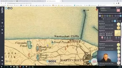
- How to create map canvas/How toa dd map elements
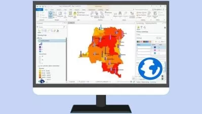
- How to create thematic map
- How to print layout
- How to print map as pdf/jpeg
Who is this for?
What You Need to Know?
More details
DescriptionHello everyone,
Do you wanna learn Mapinfo Pro from the zero?
if your answer is yes, you are in the right point!
Welcome to my "Learn Mapinfo Pro from ZERO" course.
This course is designed to equip you with the knowledge and skills needed to teach basic knowledge of Mapinfo Pro. This course will qualify students in Mapinfo Proffesional 17. The training material will be focused on vector and raster data models, how to handle them and store them in a geodatabase (Tables), their relationship within a geodatabase and on how to develop final cartographic products and maps.Every Steps will be teaching to you by using "Easy Language."
By the end of the course, you will have a solid understanding and using Mapinfo Pro to solve your GIS Task Problems.Register today and take the first step.
This fundamental 3.30-hours course is designed to equip you with the theoretical and practical knowledge of applied GIS analysis.
By the end of the course, you will:
Mapinfo pro Commands
Interface of Mapinfo pro
How to add datas
GIS Data Hierarchy
Layer Management
Symbology
Basic/Manual Selection
SQL Selection/Typing SQL Query
Labelling
How to open different files
How to create map canvas/How toa dd map elements
How to create thematic map
How to print layout
How to print map as pdf/jpeg
- And more
So, don't wait and enrol now to become GIS professional tomorrow!
Who this course is for:
- GIS Students
- Surveying Engineers
- Urban Planners
- Electrical Engineers
- Other engineering project developer
Hello everyone,
Do you wanna learn Mapinfo Pro from the zero?
if your answer is yes, you are in the right point!
Welcome to my "Learn Mapinfo Pro from ZERO" course.
This course is designed to equip you with the knowledge and skills needed to teach basic knowledge of Mapinfo Pro. This course will qualify students in Mapinfo Proffesional 17. The training material will be focused on vector and raster data models, how to handle them and store them in a geodatabase (Tables), their relationship within a geodatabase and on how to develop final cartographic products and maps.Every Steps will be teaching to you by using "Easy Language."
By the end of the course, you will have a solid understanding and using Mapinfo Pro to solve your GIS Task Problems.Register today and take the first step.
This fundamental 3.30-hours course is designed to equip you with the theoretical and practical knowledge of applied GIS analysis.
By the end of the course, you will:
Mapinfo pro Commands
Interface of Mapinfo pro
How to add datas
GIS Data Hierarchy
Layer Management
Symbology
Basic/Manual Selection
SQL Selection/Typing SQL Query
Labelling
How to open different files
How to create map canvas/How toa dd map elements
How to create thematic map
How to print layout
How to print map as pdf/jpeg
- And more
So, don't wait and enrol now to become GIS professional tomorrow!
Who this course is for:
- GIS Students
- Surveying Engineers
- Urban Planners
- Electrical Engineers
- Other engineering project developer
User Reviews
Rating

Caner Bozkurt
Instructor's Courses
Udemy
View courses Udemy- language english
- Training sessions 10
- duration 3:22:28
- Release Date 2023/10/17