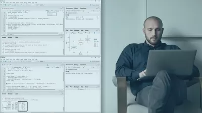
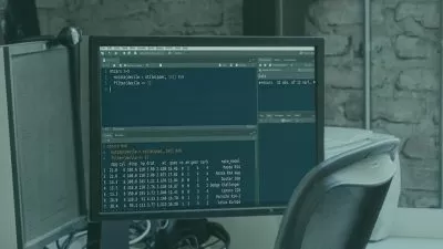
Introduction to Spatial Data Analysis and GIS in R
Adrian Cidre Gonzalez
12:53:03
Description
Learn GIS from 0 in R with theory and practice, using sf, terra, mapview, and much more for vector and raster analysis!
What You'll Learn?
- Understand the difference between Spatial Data and Non-Spatial Data
- Read/Write different Spatial Data formats
- Extract properties from spatial data
- Understand how the Coordinates Reference Systems (CRS) work
- Work with Spatial Filters and Spatial Joins
- Understand the spatial predicates (crosses, contains, intersects ...)
- Generate Maps and Web Maps
- Work with geometry transformations (buffer, centroid, intersection, crop, ...)
Who is this for?
What You Need to Know?
More details
Description
Welcome to my Spatial Data Analysis in R course!
This course is designed for beginners and intermediate-level individuals who want to delve into the fascinating world of spatial data analysis using the R programming language. We will focus on the latest packages and practices for working with real-world spatial data.
Course Content:
Section 01: Introduction to Spatial Data
Get to know the essential fundamentals of spatial data analysis.
Learn to handle spatial data in R.
Section 02: Coordinate Reference Systems
Explore coordinate reference systems and their importance in spatial analysis.
Section 03: Geometric Operations
Learn to perform key operations with geometries, including spatial filters, spatial joins, spatial predicates, and transformations like centroids and buffers.
Section 04: Raster Data
Learn what raster data is and the most common tasks with this type of data.
This section includes a brief introduction to remote sensing.
Section 05: Maps with ggplot2
Master the creation of amazing maps using ggplot2. Unify your prior skills to effectively visualize spatial data.
Section 06: Web Maps
Take your visualizations to the next level by creating interactive web maps with mapview and leaflet extensions, including synchronized maps.
Course Details:
Duration: Approximately 14 hours and 30 minutes.
Lessons: Over 150 lessons that will guide you from basics to advanced techniques in spatial data analysis in R.
Teaching Mode:
Theory and Theory Quizzes
Guided Practices
Proposed Exercises with Solutions
This course is intensive, starting from the basics and taking you to acquire advanced skills in spatial data analysis and visualization. Upon completion, you will not only be an intermediate user but an expert with solid knowledge in the exciting field of spatial analysis.
I invite you to join me and explore the power of R in spatial data analysis!
Hope to see you in class!
Who this course is for:
- GIS Analysts/Technicians
- Environmental Scientists
- Geographers
- Geospatial Data Scientists
- Cartographers
- Remote Sensing Specialists
- Foresters and Natural Resource Managers
- Anyone interested in Spatial Data with R
User Reviews
Rating

Adrian Cidre Gonzalez
Instructor's Courses
Udemy
View courses Udemy- language english
- Training sessions 147
- duration 12:53:03
- Release Date 2024/03/03