Please Login in or Register to use TrainingHub free subscription .
Caner Bozkurt
About Instructor
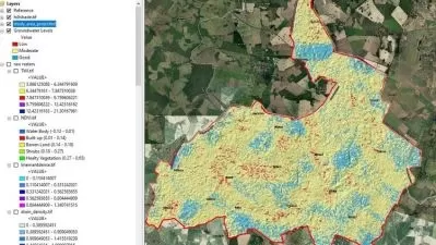
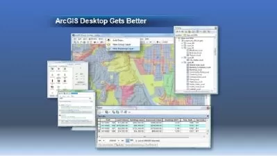
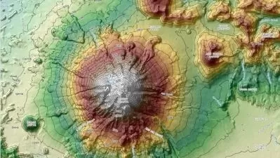
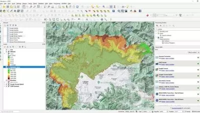
In 2011, I've graduated with honors Yıldız Technical University obtaining Engineering degree in the field of Geomatic Engineering. In 2018, i finished my master education about GIS and Remote Sensing in Eskisehir Technical University. I worked at Surveying Engineering's different deparments in special Firms, as an engineer, where I dealed with the analysis of data in both: the RMS and spatial fields. My interests are focused on new techniques, especially Remote Sensing projects, creating maps , Risk analysis projects. I am currently working on State now. Recently, I have taken a personal goal to create a series of courses in which I will share in an accessible way my knowledge in the field of GIS and Remote Sensing,Spatial Analysis. That is why new content can be expected in the coming months.My Specializations:*Geographic Information Systems (GIS)*Remote Sensing Projects*Spatial Analysis with GIS *GIS Softwares*3D Modelling*Risk Analysis for real world*Software Management (QGIS, ArcGIS,Mapinfo Pro, ArcGIS Pro)