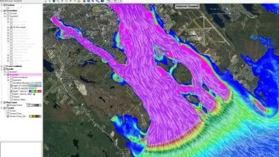
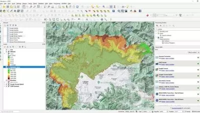
Hands-On Geospatial Analysis with QGIS 3.10 and Python
Focused View
1:59:20
9 View
01-Course overview.mp4
03:17
02-Benefits of Combining QGIS and Python.mp4
07:44
03-Improving Workflow with QGIS.mp4
03:58
04-Software Download and Setup.mp4
04:38
05-Understanding Spatial and Remote Sensing Data.mp4
04:22
06-Project Automation.mp4
03:41
07-Familiarizing with Operational Environments.mp4
06:13
08-Plotting Spatial Data and Visualizing 3D Maps.mp4
05:59
09-Creating Your First Spatial Layer in QGIS.mp4
02:53
10-Distinguishing Layers - Vector and Raster.mp4
05:24
11-Handling Vector Layers.mp4
05:11
12-Vector Layer Spatial Analysis.mp4
03:01
13-Field Calculator.mp4
06:53
14-Write to, Output, and Export Vector.mp4
04:25
15-Remote Sensing Theories.mp4
05:06
16-Earth Imagery Query and Download.mp4
02:50
17-Viewing and Handling Multiband Images.mp4
04:40
18-Project and Re-project Raster Using gdal warp.mp4
04:09
19-Creating Digital Elevation Model and Terrain Maps.mp4
05:13
20-Georeferencing a Raster Layer.mp4
05:12
21-Outputting a Professional Map from QGIS.mp4
06:42
22-Stylizing Spatial Layers.mp4
05:31
23-Creating a Geospatial PDF for Field Navigation.mp4
04:00
24-Conclusion and Resources.mp4
04:34
25-Course Summary.mp4
03:44
More details
User Reviews
Rating
average 0
Focused display
PacktPub
View courses PacktPubPackt is a publishing company founded in 2003 headquartered in Birmingham, UK, with offices in Mumbai, India. Packt primarily publishes print and electronic books and videos relating to information technology, including programming, web design, data analysis and hardware.
- language english
- Training sessions 25
- duration 1:59:20
- Release Date 2024/03/15


