Python for Geospatial Data Analysis: Theory, Tools, and Practice for Location Intelligence
Category
Author
Publication
OReilly Media
Review
"This is amazing! I'm so glad you wrote this thank you so much! " Ryan Schaner
"Beautiful book!" Pablo Moreno
"In the expanding market of Geospatial analytics I am sure this is a very useful resource. I read through the already available content and I found it very illustrative." Ezequiel Garcia Hernandez
Excellent book. Great production quality to go along with the fantastic content on #LocationIntelligence.--Kirk Borne, Chief Science Officer
About the Author
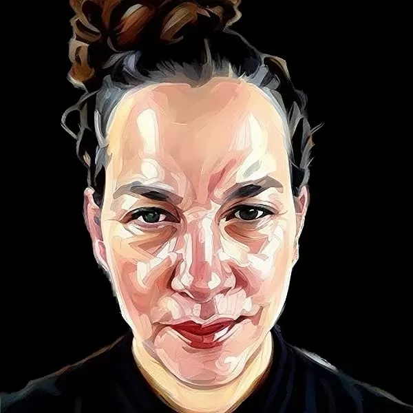
Bonny applies advanced data analytics including data engineering and geoenrichment to discussions of poverty, race, and gender. Her research targets judgementsabout social determinants, racial equity, and elements of intersectionality to illuminate the confluence of metrics contributing to poverty. Moving beyond zipcodes to explore apportioned socioeconomic data based on underlying population data leads to discovering novel variables based on location to build more context to complex data questions.
In order to influence change or pathways to mitigate factors contributing to poverty we need to evaluate the measures that influence the social context. Core themes of racism, class exploitation, sexism and nationalism and heterosexism all contribute to social inequality. Professionally and personally she redefines how we measure these attributes and how we can more accurately identify factors amenable to intervention. Spatial data hosts a variety of physical and cultural features to reveal distribution patterns helping analysts and data professionals understand underlying causes of these patterns. The ability to query these relationships can inform policy and identify solutions.
Bonny is a Tableau User Group Leader, Tableau Speakers Bureau member and Data Analytics Professional. Her professional goals include working to improve data literacy through education, Tableau skill integration, as well as R, Python, and Tableau Prep tools, exploring large datasets and curating empathetic answers to larger questions--making a big world seem smaller.


